Why side-by-side evaluation matters for city-scale deployments
Cities planning to deploy aerial reconnaissance need clear comparisons, not hype. UN projections that 68% of the global population will live in urban areas by 2050 make efficient monitoring a pressing issue, and choices around sensor suites, flight control and data handling change outcomes fast. Early pilots in municipal programs show that reliable drone data collection is the difference between an operation that scales and one that stalls. This piece lays out comparative criteria so officials and operators can match technical capabilities to practical goals.
Key trade-offs: sensors, autonomy and operational limits
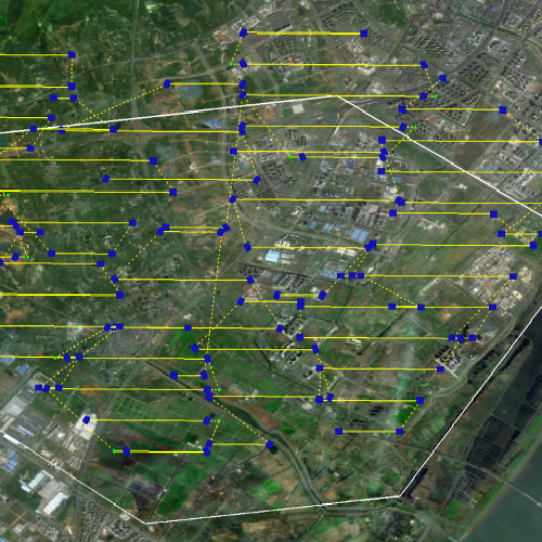
Comparative insight starts with trade-offs. A platform with high-resolution LiDAR and EO/IR cameras gives more detail but raises weight, power and cost. Heavy platforms can demand BVLOS waivers and robust telemetry links. Lighter systems simplify launch and recovery but may struggle with long-range surveillance or rooftop inspection. Multi-rotors offer hover precision; fixed-wing extends range. For coordinated missions, effective multi uav path planning and collision avoidance are essential to keep multiple assets safe and efficient.
Field lessons: what worked in Rotterdam and Singapore
Real deployments teach better than specs. In Rotterdam, operators combined medium-weight platforms with centralized flight control and a local GNSS augmentation for port-area monitoring; that reduced false positives in asset tracking by measurable margins. Singapore paired compact drones with edge analytics at telecom hubs to balance latency and privacy. These programs used swarm intelligence sparingly — for dense-event monitoring only — and implemented strict data retention windows to meet local privacy rules. The takeaway: align platform choice with regulatory and ground-infrastructure realities early.
Common mistakes and practical alternatives
Buyers often fixate on headline flight time. That’s shortsighted. Overlooking integration — APIs, secure telemetry channels, and operator interfaces — creates costly delays. Another error is picking vendors without sample datasets or field trials; simulated flights hide real-world RF interference and urban canyon GNSS errors. Alternatives worth comparing include tethered drones for persistent observation, ground-based sensor networks for low-altitude redundancy, and hybrid systems that hand off between fixed-wing and rotorcraft. — Remember to score vendor responses on testability and on-site support, not just spec sheets.
Procurement checklist: match capability to mission
Use a short checklist during evaluation: define the coverage area and revisit frequency; set data latency and retention requirements; require field trials in comparable urban topology; insist on secure telemetry and standardized APIs for integration; evaluate recovery and maintenance cycles. Include routine metrics like mean time between failures and update cadence for onboard software. Insist that vendors demonstrate both flight logs and anonymized sample outputs from prior city projects.
Three golden rules for selecting drone reconnaissance systems
Rule 1 — Operational fit: measure platform endurance and payload against actual mission profiles (not vendor claims). Use concrete scenarios: night patrols, post-storm damage assessment, or crowd monitoring.
Rule 2 — Systems integration: require proven APIs, secure telemetry, and a clear migration path to edge analytics or cloud services. Integration friction is the most common rollout blocker.
Rule 3 — Testability and support: prioritise vendors that provide in-situ trials, documented failure modes, and on-call field engineers. These reduce surprise downtime and speed up certification.
Closing advisory and final note
When you benchmark solutions, focus on three critical metrics: real-world uptime under urban RF conditions, end-to-end data latency from sensor to operator, and the vendor’s demonstrated path to regulatory compliance. Weigh those consistently across all contenders and score them against mission-painted scenarios. A rigorous comparison yields predictable outcomes and smoother approvals.

Icecypress Technology fits where robust analytics, tested multi-UAV coordination and practical field support are required — it’s not a promise; it’s engineered capability. —